| Mapping Toolbox | |
Project a contour plot of map data in 3-D space
Syntax
c = contor3m(lat,lon,map)
c = contor3m(lat,lon,map,LineType)
c = contor3m(lat,lon,map,PropertyName,PropertyValue,...)

c = contor3m(lat,lon,map,n,...)
c = contor3m(lat,lon,map,v,...)
[c,h] = contor3m(lat,lon,map,...)
Description
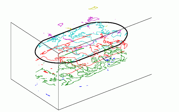
contor3m(lat,lon,map) produces a 3D contour plot of map data projected onto the current map axes. The input latitude and longitude vectors can be the size of map (as in a general matrix map), or can specify the corresponding row and column dimensions for the map
contor3m(map,maplegend) produces a contour plot of map data in a regular matrix map.
contor3m(lat,lon,map,LineSpec) uses any valid LineSpec string to draw the contour lines.
contor3m(lat,lon,map,PropertyName,PropertyValue,...) uses the line properties specified to draw the contours.
contor3m(lat,lon,map,n,...) draws n contour levels, where n is a scalar.
contor3m(lat,lon,map,v,...) draws contours at the levels specified by the input vector v.
contor3m(map,maplegend,...) takes any of the optional arguments described above.
c = contor3m(...) returns a standard contour matrix, with the first row representing longitude data and the second row represents latitude data.
[c,h] = contor3m(...) returns the contour matrix and the handles to the contour lines drawn.
contor3m, without any inputs, will activate a GUI to project contour lines onto the current map axes.
Examples
load topo
axesm robinson; framem; view(3)
contor3m(topo,topolegend)
set(gca,'DataAspectRatio',[1 1 3000])
See Also
clabelm |
Label a contour plot of map data |
clegendm |
Display a legend for a contour plot of map data |
contourc |
Contour computation (see online MATLAB Function Reference) |
contorm |
Project a contour plot of map data |
| | cometm | contorm | |